World GIS Day: What is Your Where?
Nov. 20, 2024, marks the annual celebration of World GIS Day!
More than dots and lines on a map, GIS is the intersection of data and destinations which tell our stories and shape the world.
Mapping the History of GIS Day
World GIS Day, celebrated each year in November, brings together people from all backgrounds to recognize the impact of Geographic Information Systems (GIS) in our lives. This year’s theme “Mapping Minds, Shaping the World: 25 Years of GIS Excellence” commemorates the 25th anniversary of World GIS Day.
Since its start in 1999, GIS Day has inspired communities, educators and professionals worldwide to explore the capabilities of GIS technology, share innovations and appreciate the crucial role that mapping plays in connecting data to the real world.
The idea originated with Esri president and co-founder Jack Dangermond, who envisioned a dedicated day for people to come together, discover GIS and celebrate how geographic data could reveal new insights and solutions across countless industries.
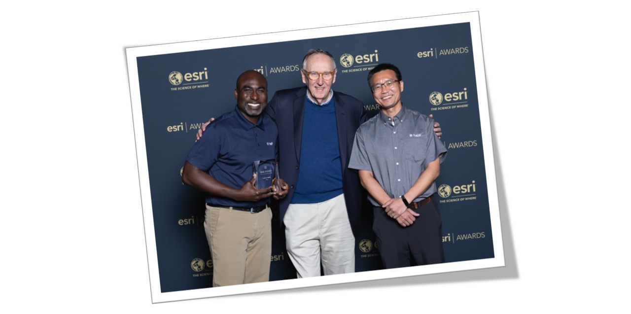
Fun Fact! Earlier this year, Halff was honored with an Esri Special Achievement in GIS Award, where Halff’s GIS professionals Sam (left) and Zongpei (right) got to accept the award from Jack Dangermond.
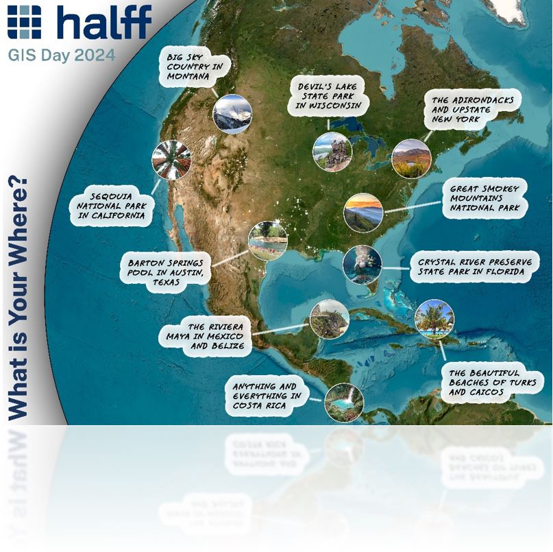
What is Your “Where” on the Map?
The powerful mapping prowess of GIS captures our “where” in many unique ways. It’s useful not only for projects, but for getting to know people’s stories, too!
Our GIS team surveyed more than 150 Halff employees to see “what is their where” on the map. The result is a beautiful mosaic highlighting the places that have shaped their personal and professional lives.
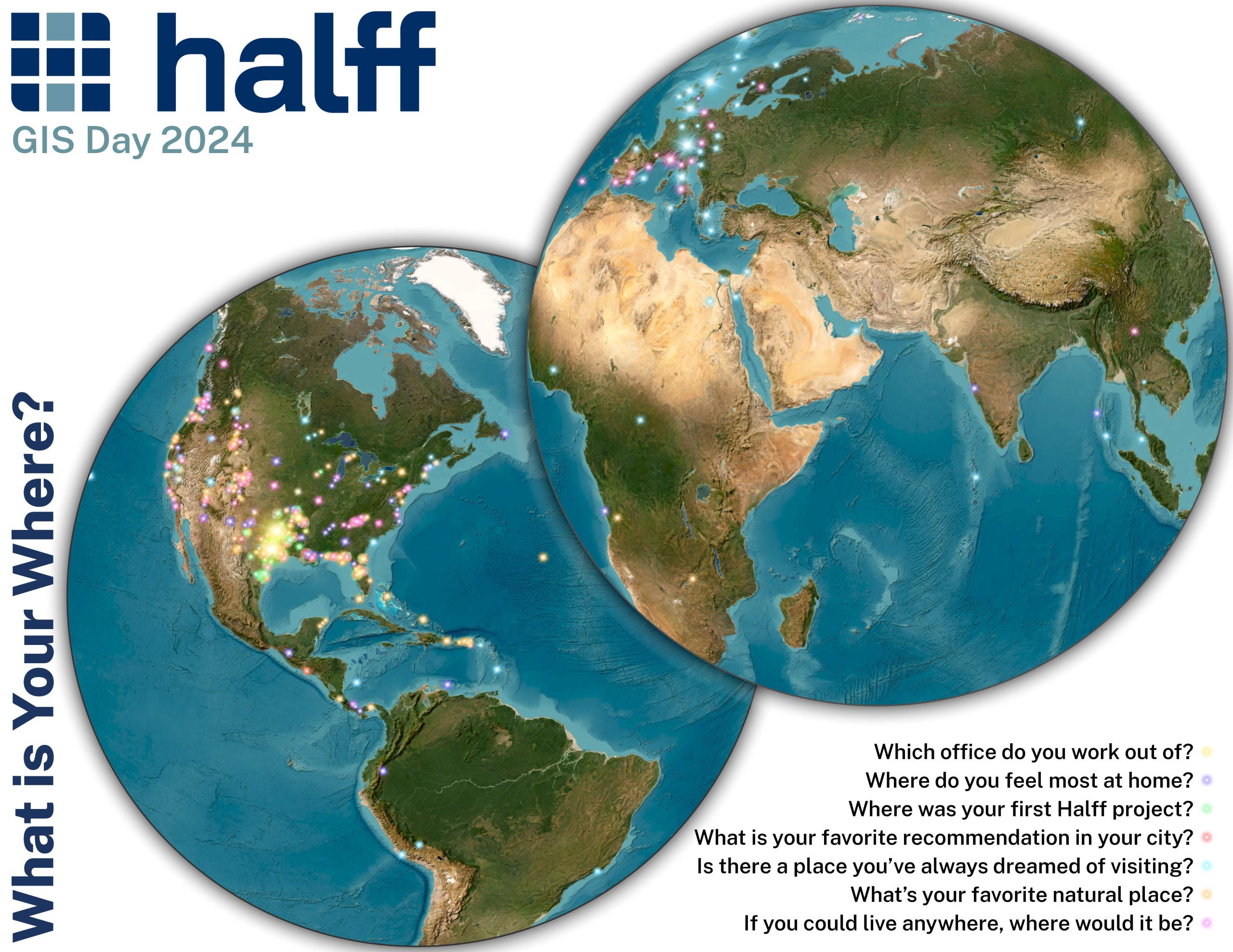 Halff’s GIS team surveyed Halff employees on what places hold meaning to them, such as “Where do you feel most at home?” The result is beautiful maps showing showing places they recommend going to see!
More Than Just Maps: GIS Today
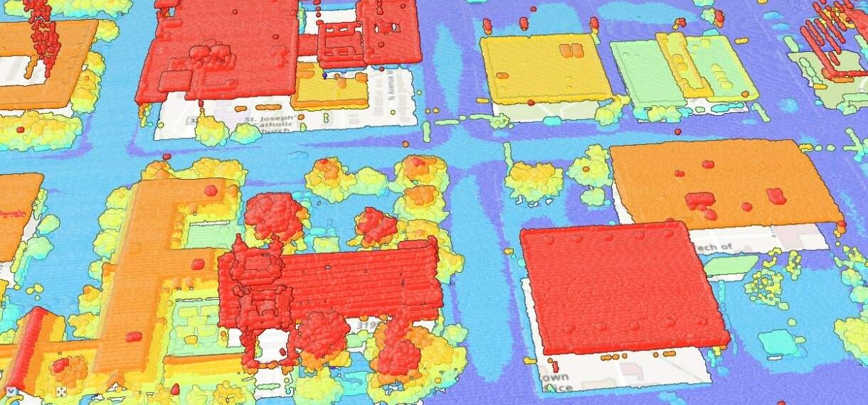
Halff worked with the City of Lubbock to create aerial imagery and lidar specifications for data acquisition and engineering analysis. They developed terrain surfaces and contours using GIS.
GIS does more than just plot points and visualize data; it uncovers meaning and empowers us with insights for our projects today.
By layering data with location, GIS transforms raw information into visualizations.
Custom GIS and artificial intelligence (AI) are even being paired together to deliver better predictive modeling, prioritization of assets, quality assurance and more.
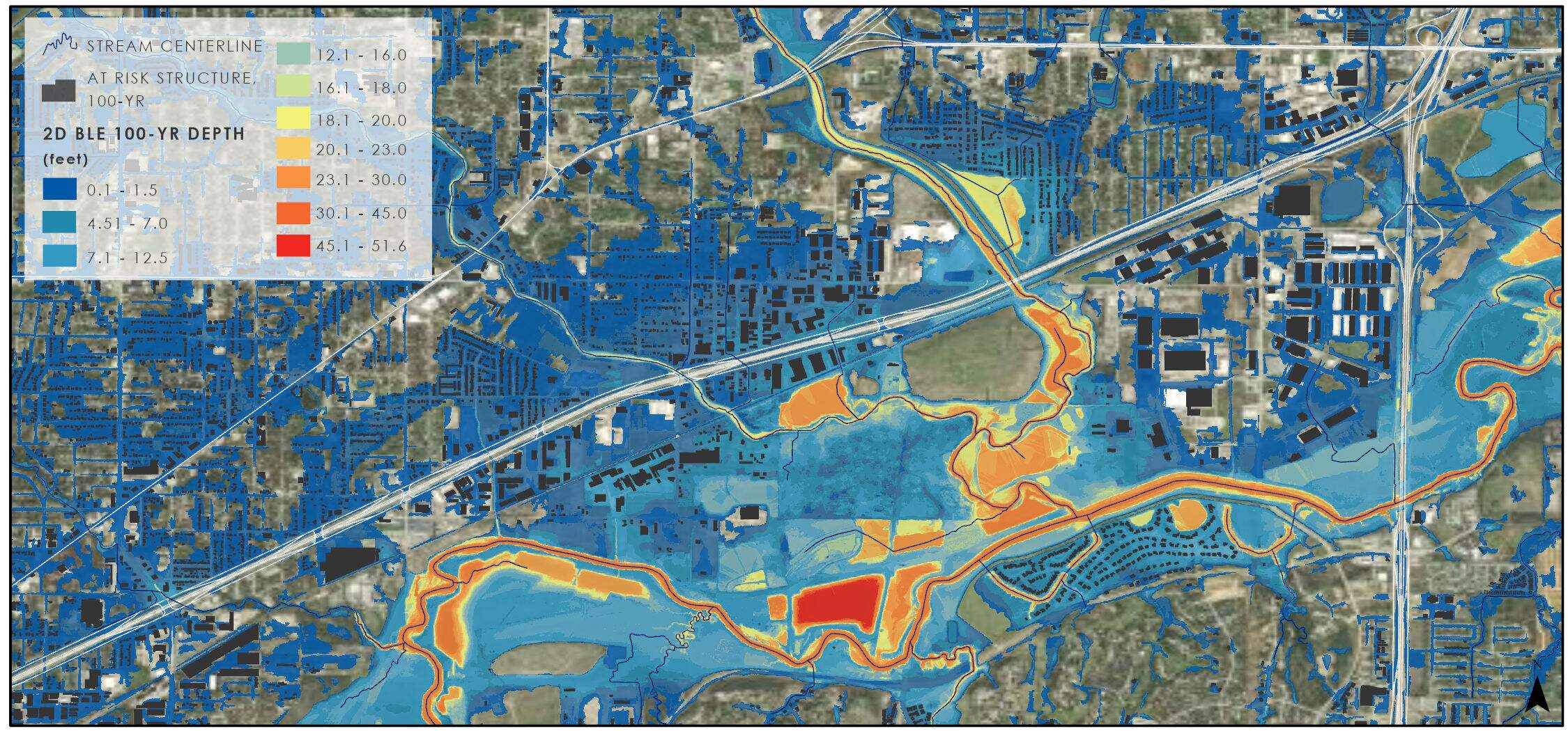
The Statewide Base Level Engineering (BLE) project represents a groundbreaking, milestone initiative by the Texas Water Development Board. This map displaying modeling results in the DFW region offers a better understanding of flood risk.
Whether it’s optimizing emergency response routes, tracking environmental changes or guiding sustainable development, GIS helps organizations and communities make more informed choices.
Thanks to GIS technologies, we continue to operate with a deeper understanding of the world around us, letting engineers and communities plan for the future—with precision and purpose.

