380-miles
Harris County Flood Control District
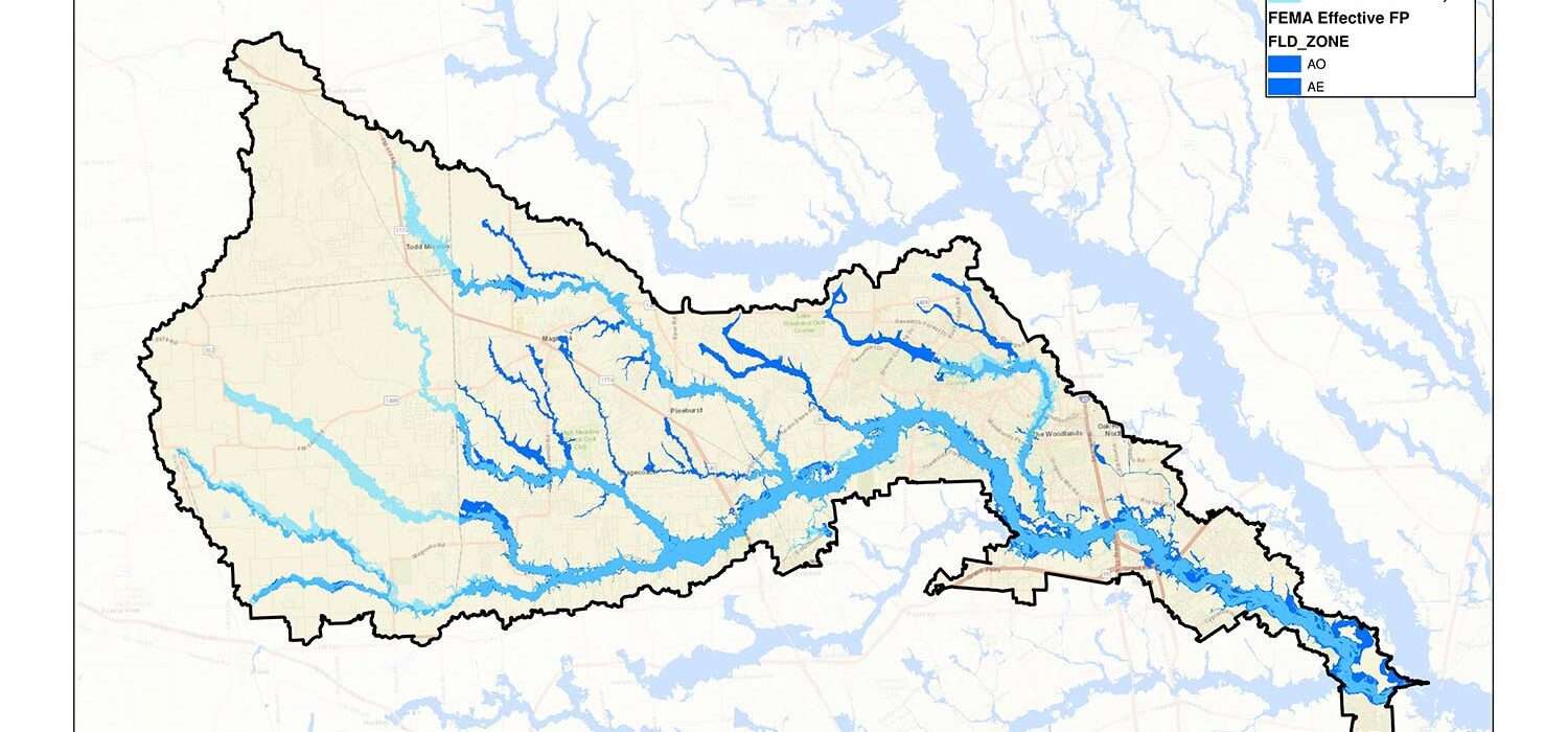
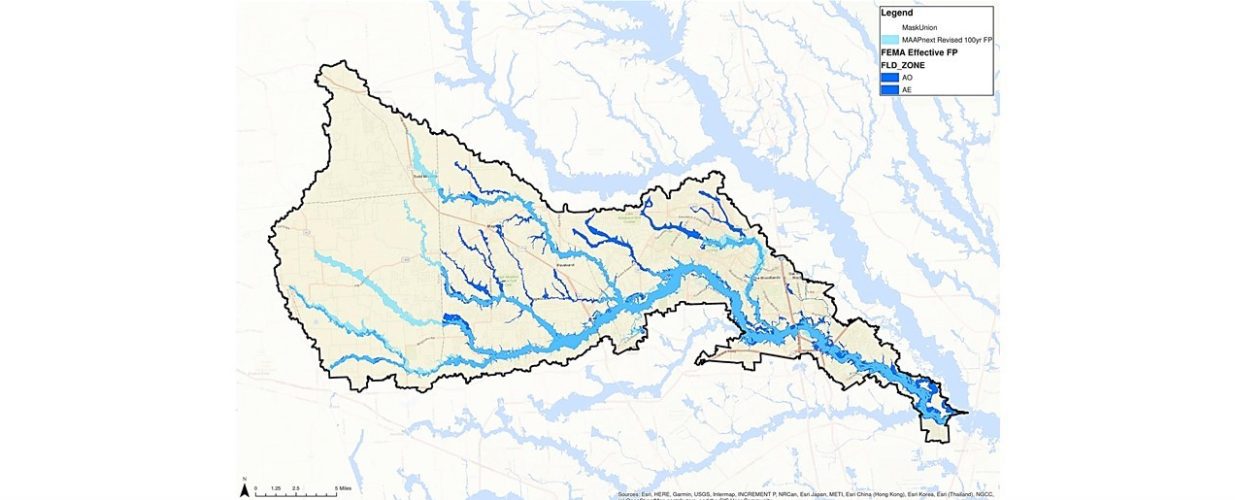
The purpose of the Modeling, Assessment and Awareness Project (MAAPNext) is to better understand flood risks within the 22 watersheds in Harris County, Texas, while using the latest adopted National Oceanic and Atmospheric Administration (NOAA) rainfall frequency values (Atlas 14, Volume 11) and improved modeling methods. The Federal Emergency Management Agency (FEMA) gave Harris County special permission to use new hydrologic and hydraulic modeling methods. Halff was selected by Harris County Flood Control District (HCFCD) to develop new floodplain maps for the Spring Creek watershed.
The Spring Creek watershed has over 83 miles of streams that were studied as part of the project and over 68 miles of the mainstream was modeled for the mapping program. The watershed lies in four counties in Texas: Montgomery, Waller, Grimes and Harris. Halff developed a field survey plan that identified which areas and channel segments needed to be surveyed to better define the hydrologic and hydraulic analysis. Bathymetric survey was also obtained in the lower portions of Spring Creek which are primarily underwater.
Halff developed a comprehensive hydrologic model using HEC-HMS to evaluate flows and volumes that occur during Atlas 14 design storms. A preliminary 2D model of the Spring Creek watershed was developed to evaluate sheet flow patterns across the entire watershed, including the counties outside of Harris County. In accordance with HCFCD modeling guidelines, Halff developed a comprehensive 1D/2D model of the Spring Creek and its major tributaries to calculate water surface elevations for various Atlas 14 storm events. The models were calibrated to three historical storm events. Halff is currently developing flood maps and technical support data notebooks for the watershed in Harris County.
Halff Services
Involved
- Watershed Plans & Studies
Let’s Connect
Ready to work with Halff? Simply fill out the form to be directed to the best person at Halff to discuss your interests.


